
We left Napier at 8am for the drive to Waipukurau airfield for a flight to Taupo with Ross (CFI at Waipukurau).
There was low lying mist and the smoke from a bonfire only rose up a short way before spreading out.
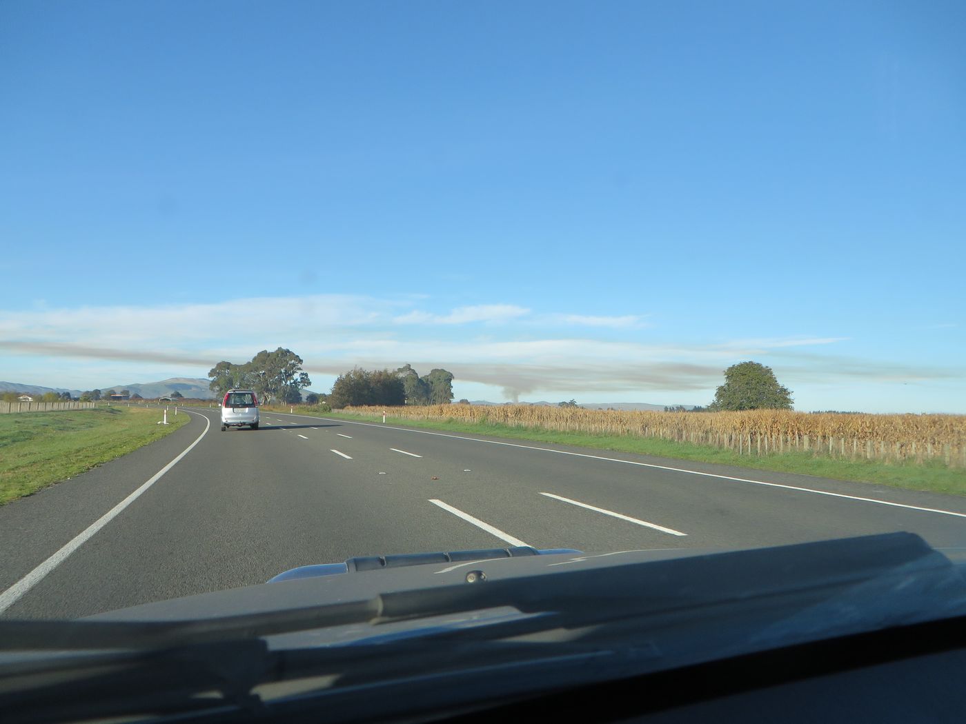
Mist.

We met up with Ross who had kindly got the plane (a C172) ready and took off about 9:20am.
Here’s the log of the flight to Taupo, following the Mohaka River.
Smoke trail blown across the countryside.

Napier in the distance.

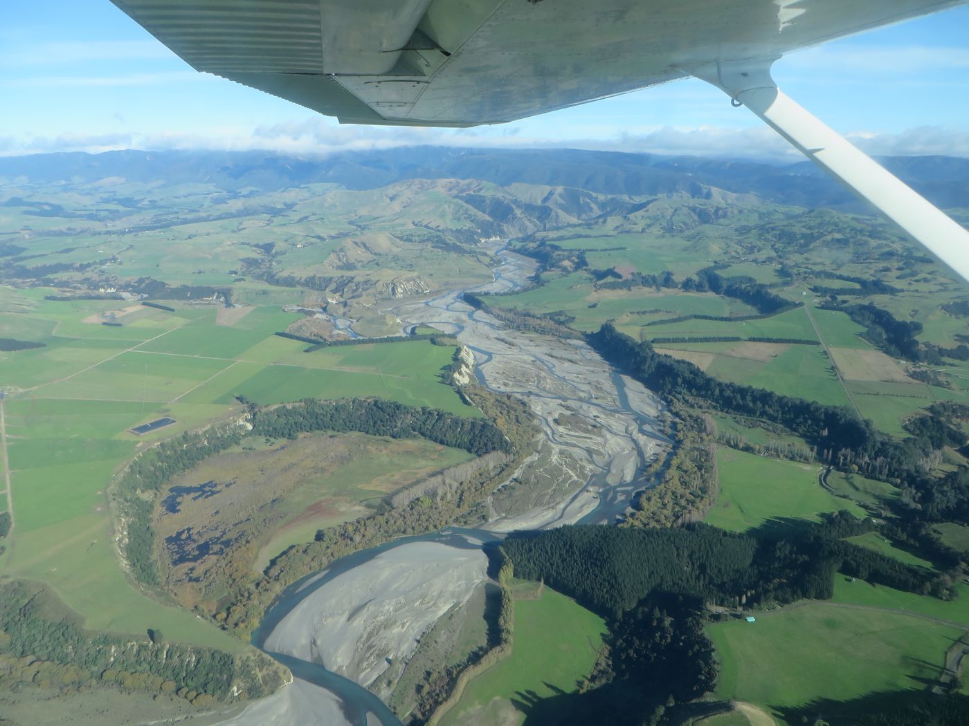
Lake Poukawa in the distance to the right with morning mist around.

Pretty!

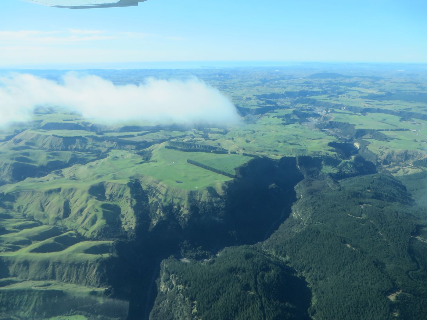
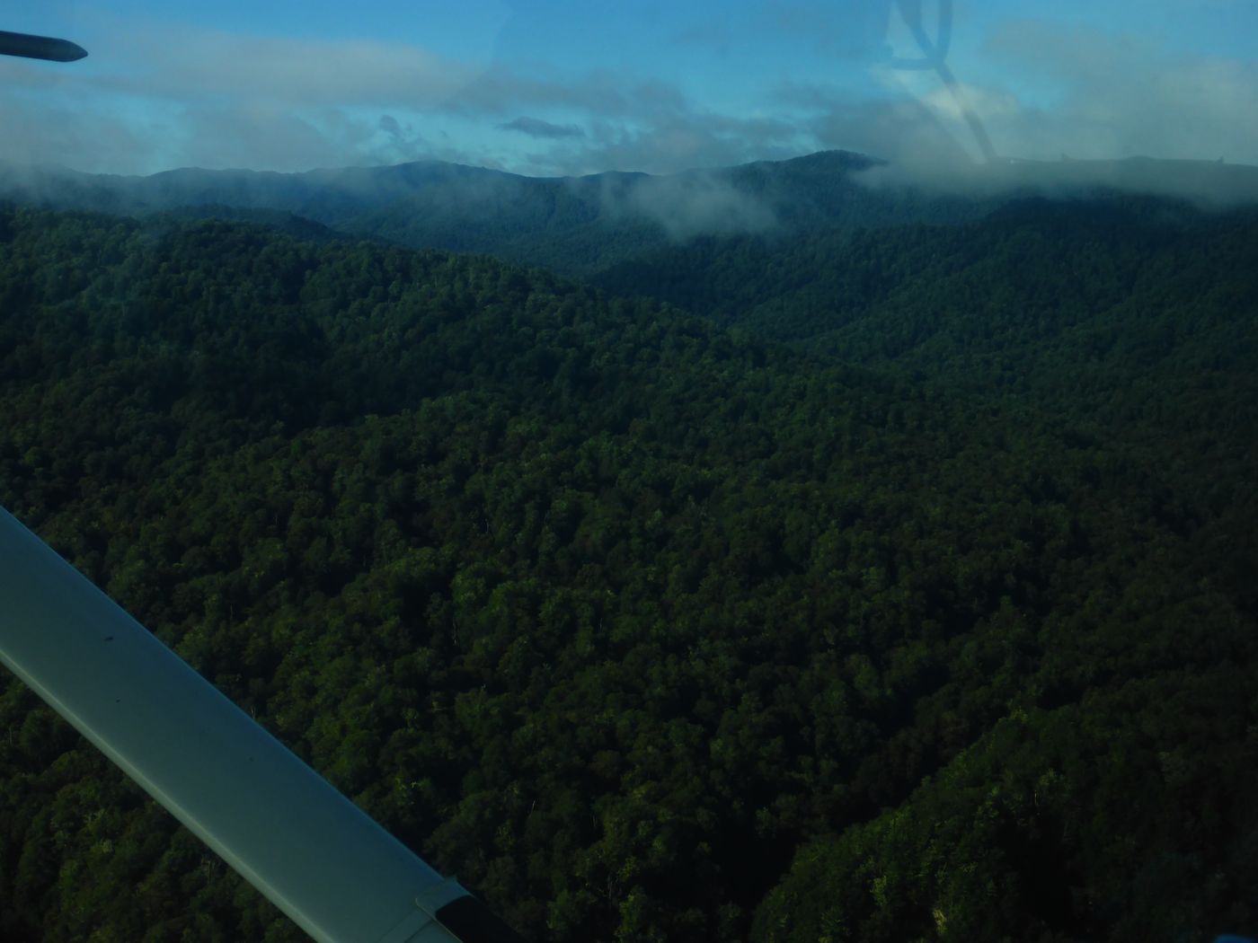
Cloud on the hills ahead.

Farmstrip.

About this time I took a video.
Another farm strip.


Another strip.


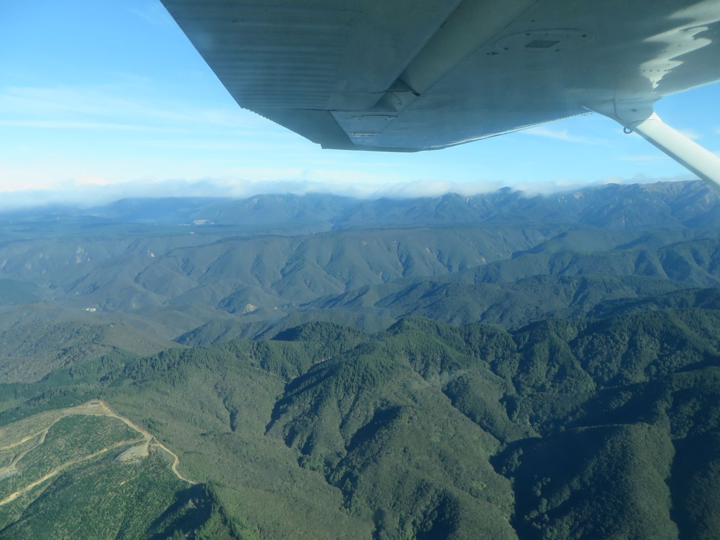
Nearer to Taupo there was a lower bank of cloud.

Another video here.
Green on the lower hills.


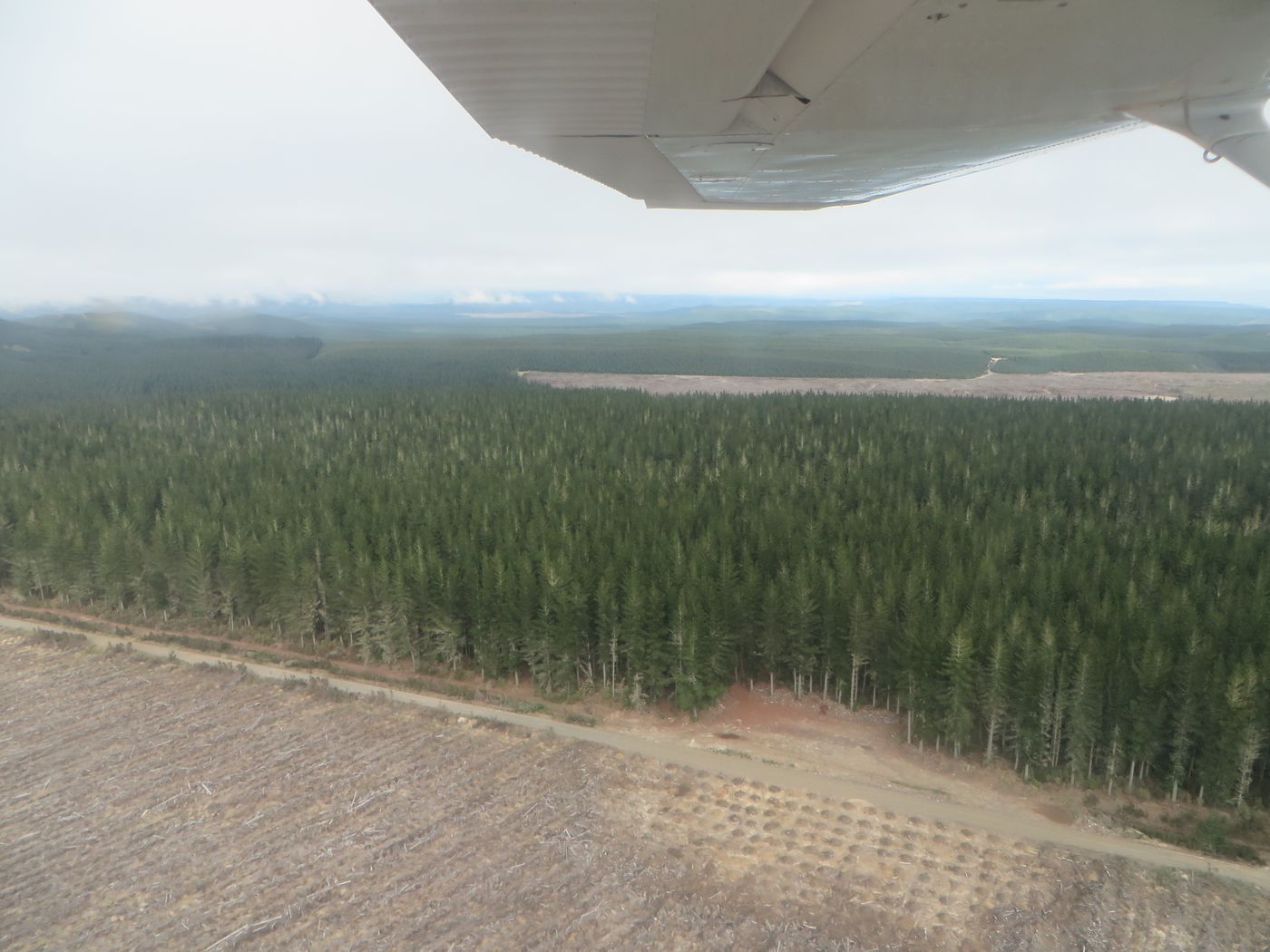
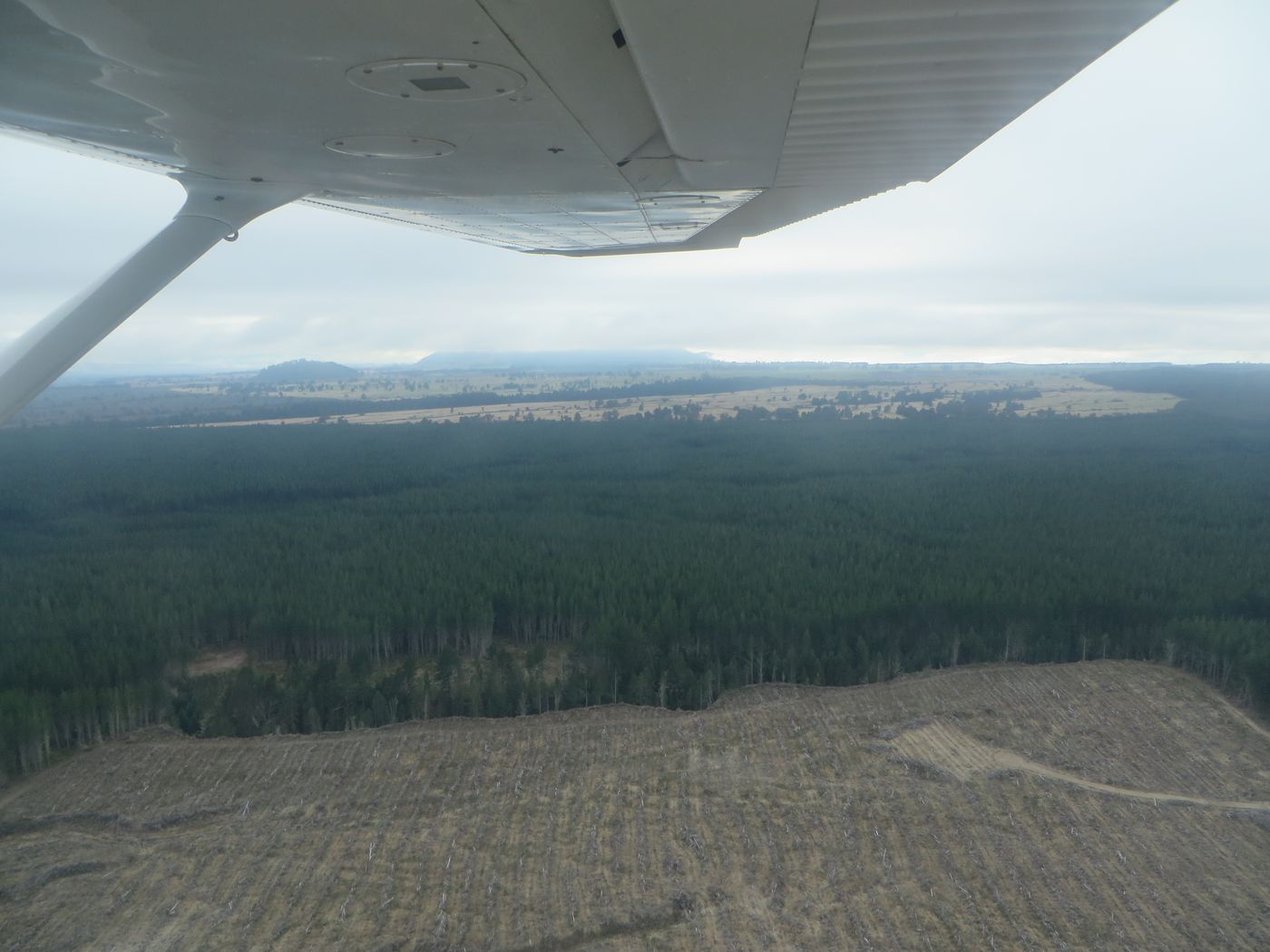
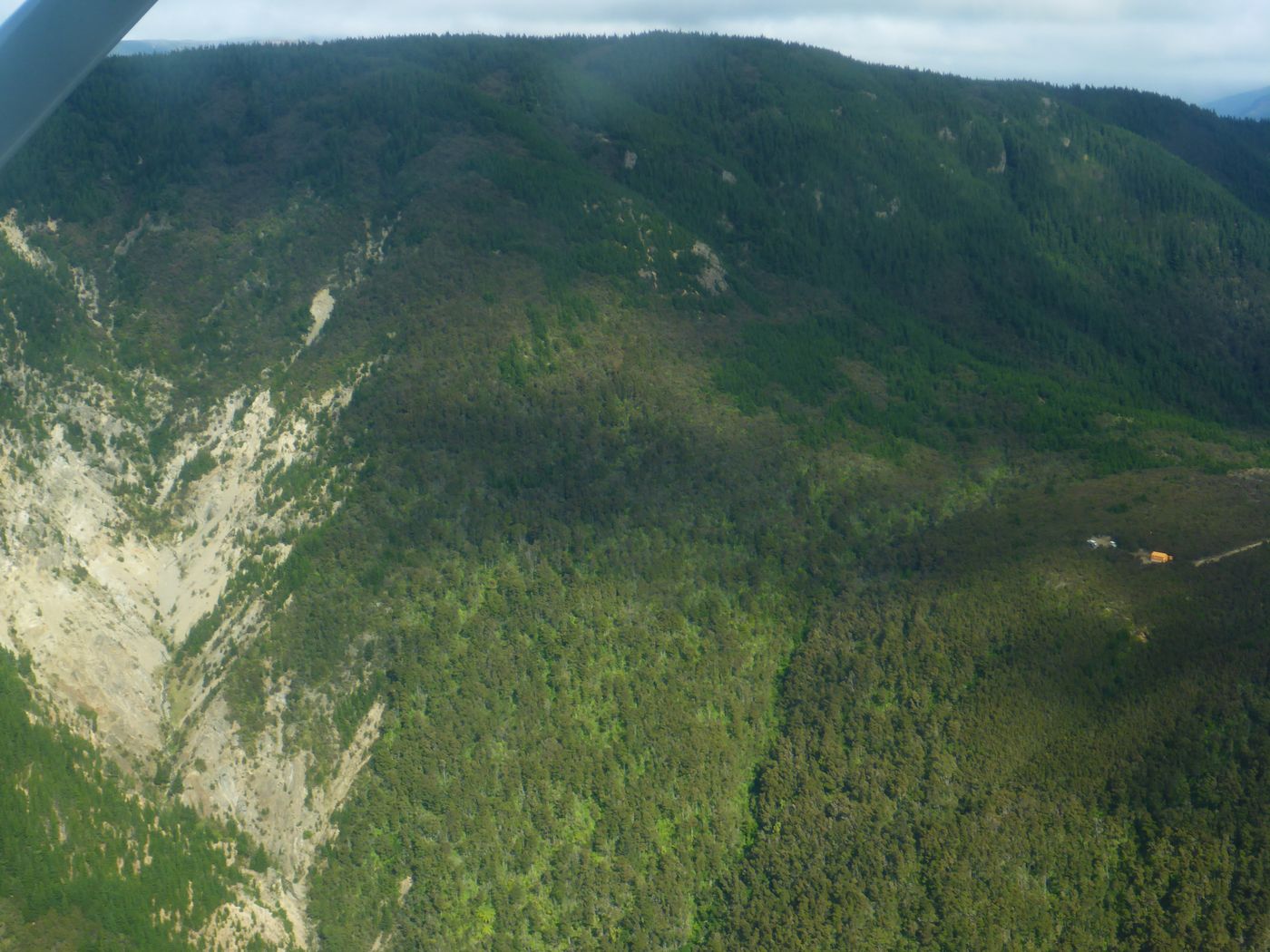
Evidence of logging.
Hills near Taupo.
Taupo airfield in the distance, Lake Taupo to the left.

Looking south of Taupo.

Taupo airfield.

Turning downwind.

Taupo airfield.


Taupo.

Final 17. Wind calm. The ATIS gave RWY99!


Noel and Ross.
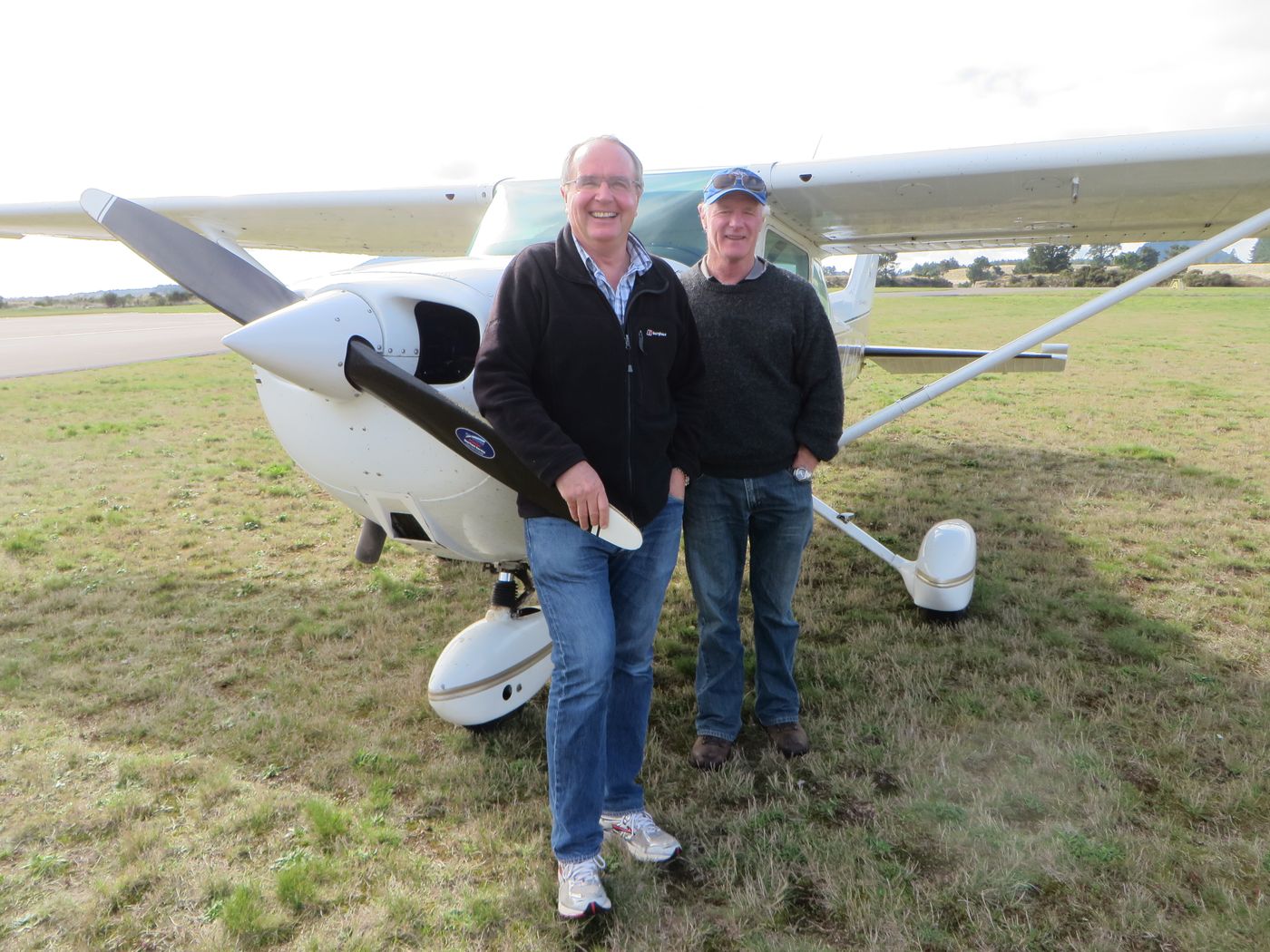
Me and Ross.

We stopped for a quick coffee and cake (Ross had to be back for his next booking) and then it was my turn in the front. Parachutists were in the air and landing as we took off. We took a different route back so we went south along the Lake Taupo shore before turning inland. Here’s the log of the flight.

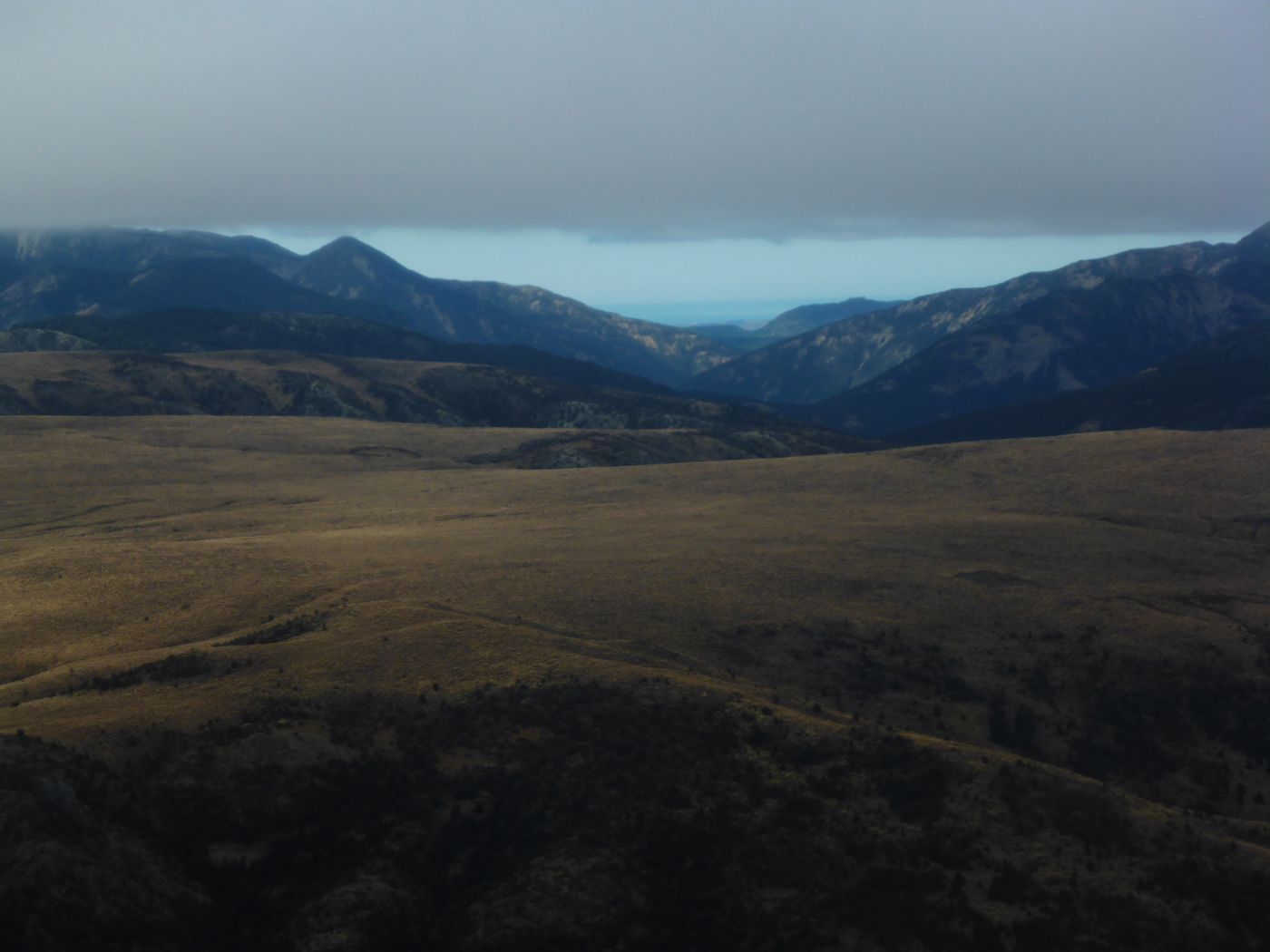
There was lower cloud ahead so we had to duck under it. Then the plan was to follow a river for a while.


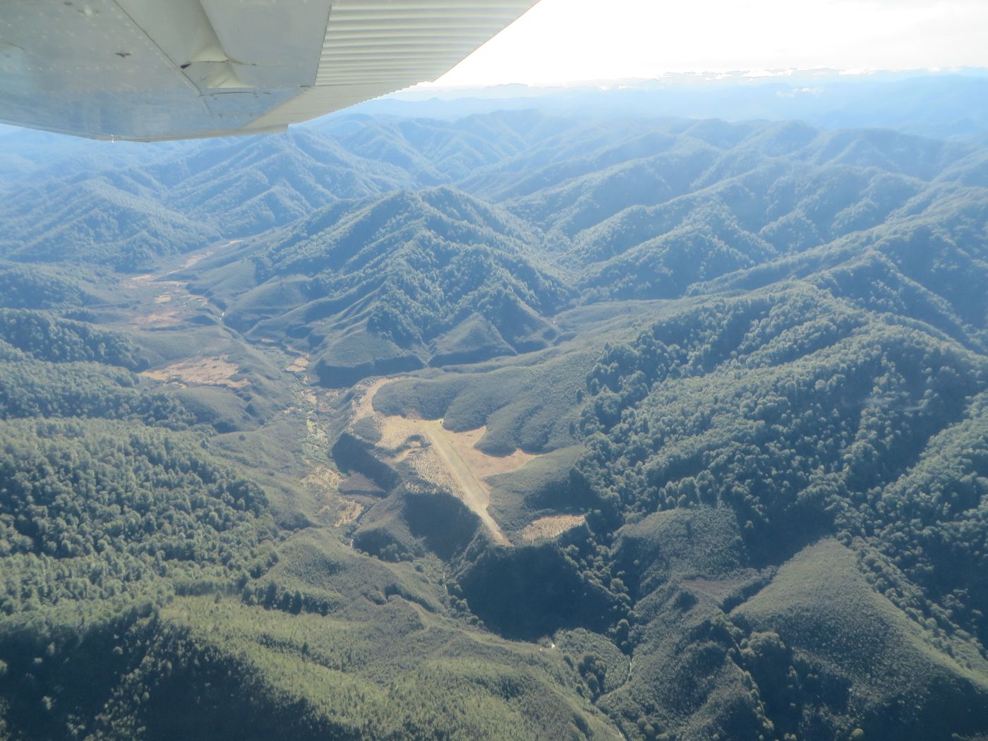
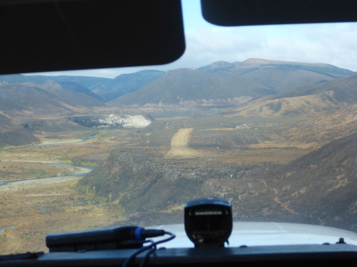
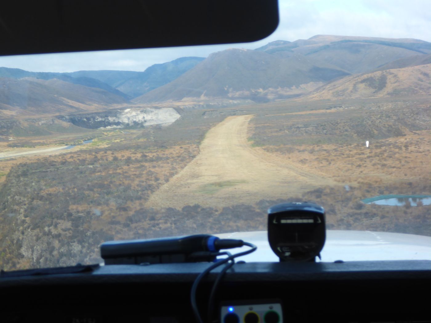
Just after flying over a saddle there was an airstrip. We flew down this valley before turning left.

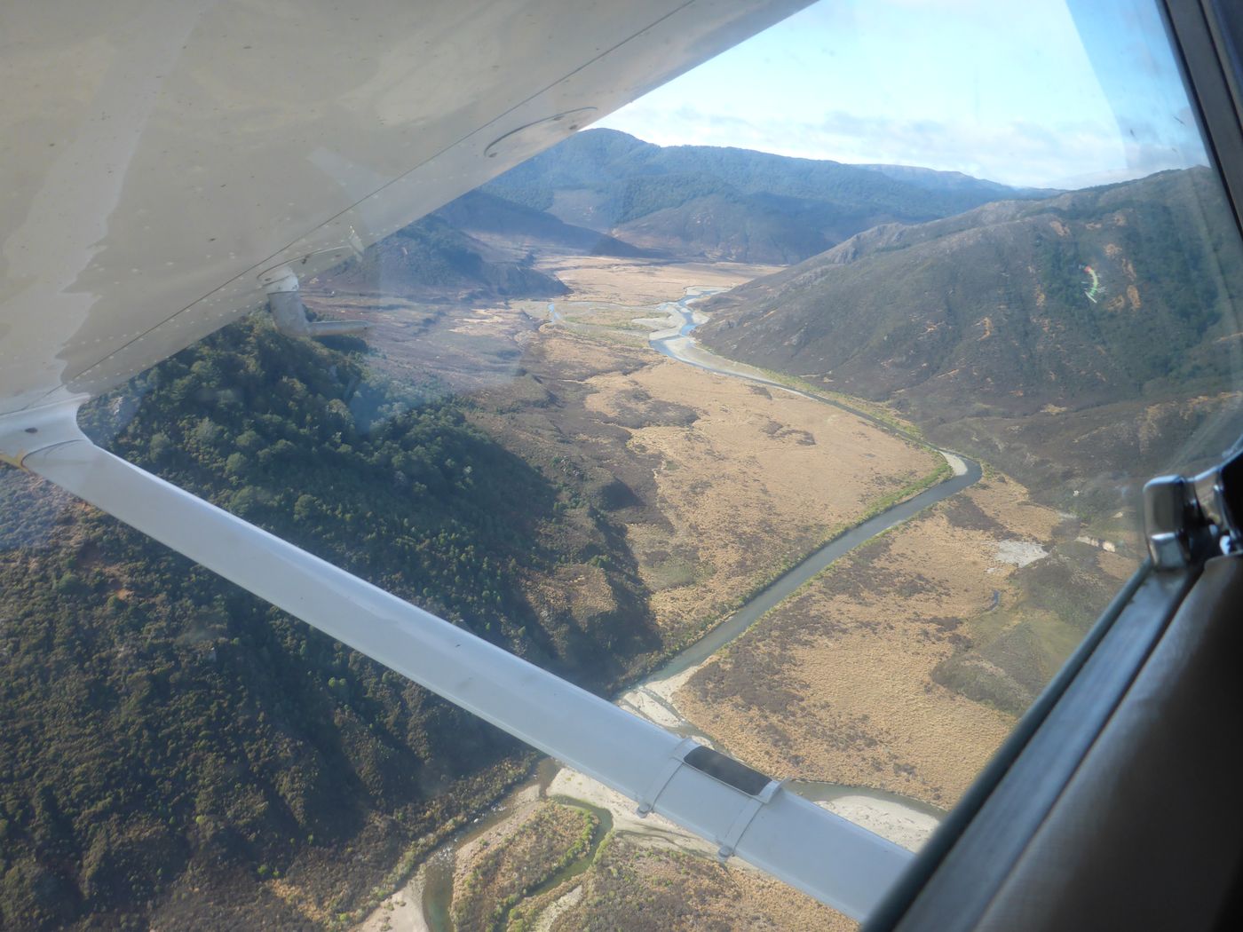
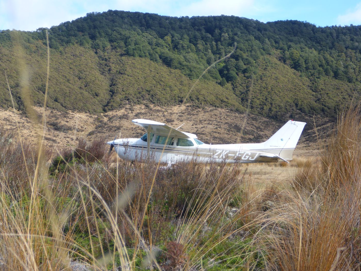
There was another airstip (Boyd) so we landed! Downwind here.

Turning Final.

Final.
Looking back at where we landed.

There is a DOC hut at Boyd airstrip.

Ross standing on the edge before the land falls away to the riverbed.

Geronimo! It doesn’t look it in the picture but the land in front of Ross and Noel is some distance below.


We took off 🙂 and carried on to Waipukurau.

We passed over the Gentle Annie, the road between Napier and Taihape. Cloud high enough to fly over the saddle.

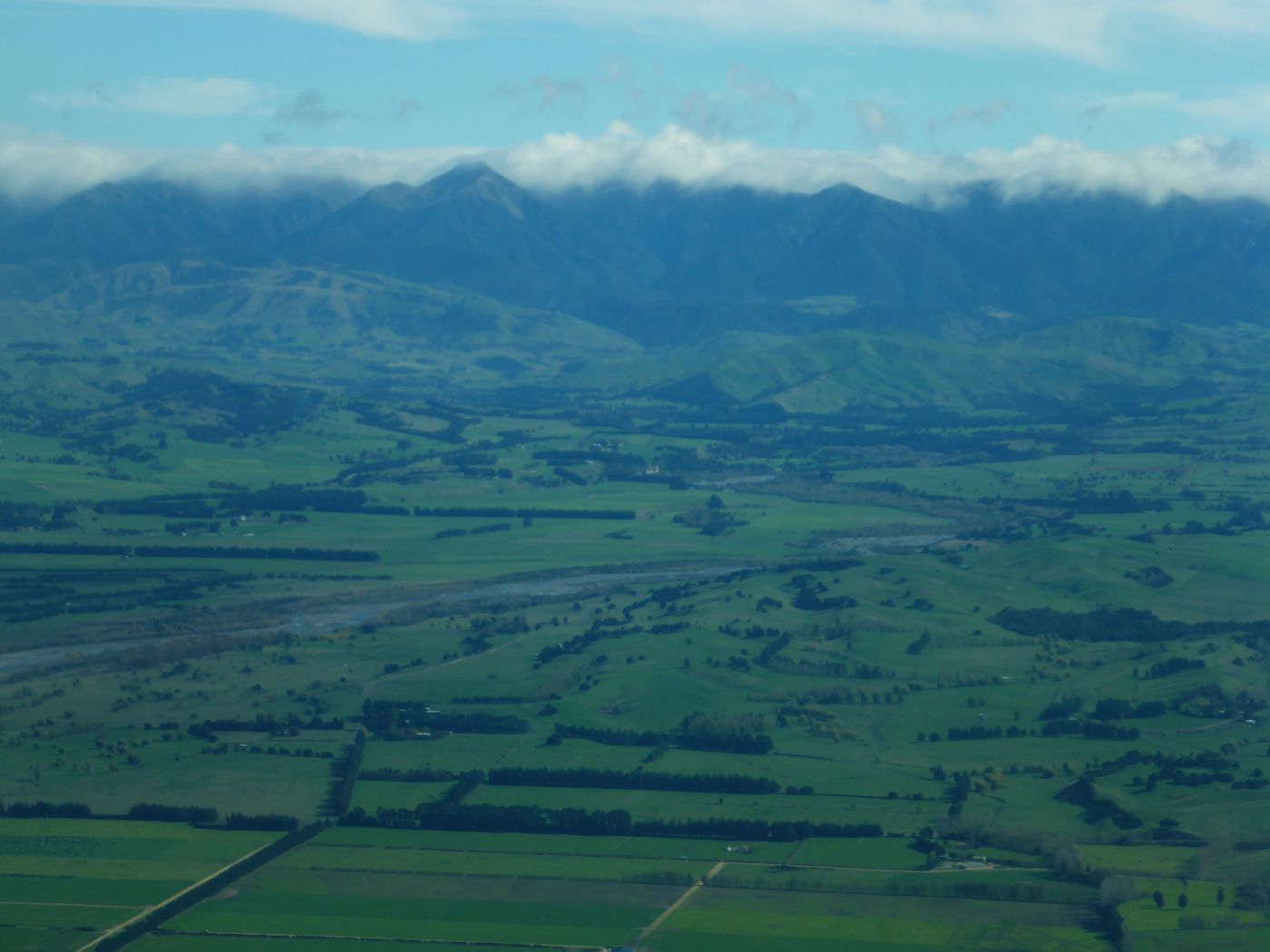
And then we were into green fields a bit similar to the lower parts of the Swiss Alps.

There is a bright orange DOC hut to the right of the picture.
The Ngaruroro river.

A farm strip.

High-tech irrigation.

Where we were.
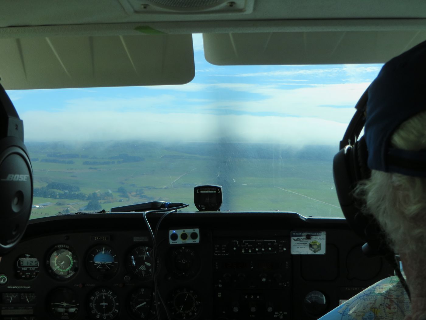
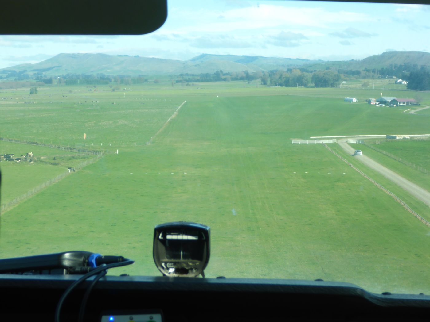
Final 20.
A brilliant flight!
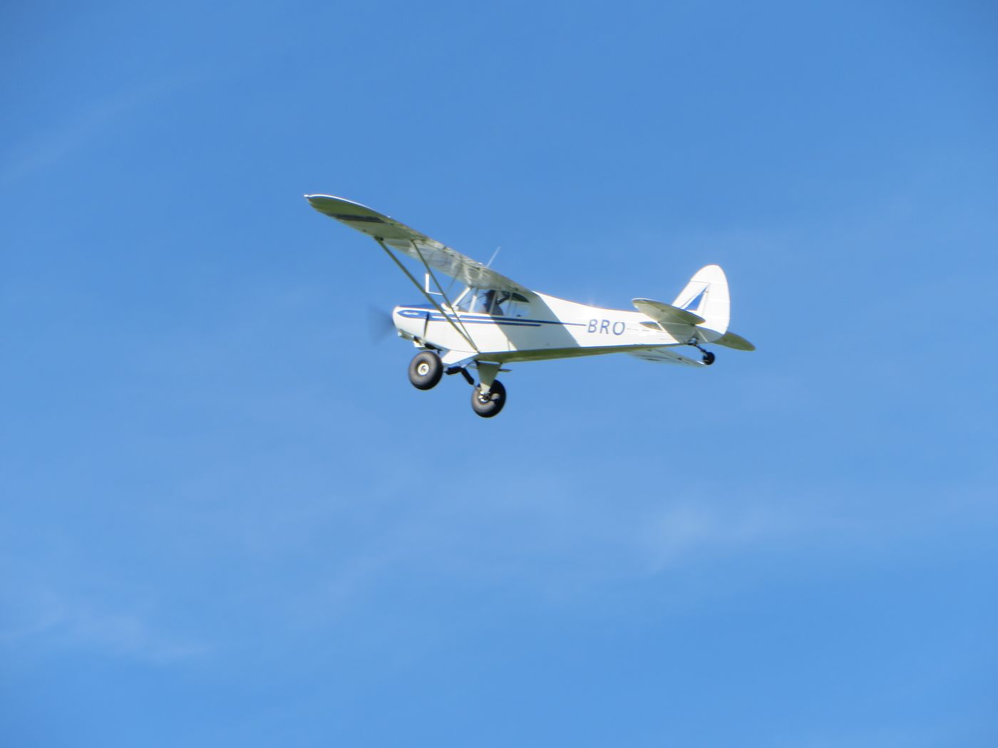
While we were having a coffee afterwards with Ross, Bruce from Hastings flew in. Here he is leaving in his Cub.
On the way back to Napier Noel and I stopped for lunch and then had an ice cream to round off a brilliant time.


We were home for an hour before we had to go out again as Max had arranged for us all to see someone. Then we went to Max’s for a very nice dinner.